


Share
Texas didn’t spring fully formed from the frontier. It arrived piece by piece – charted coastlines, sketched river routes, penciled borders that moved and multiplied.
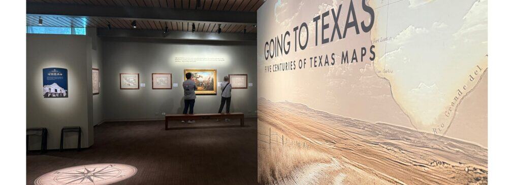
The Briscoe Western Art Museum’s new exhibition, “Going to Texas: Five Centuries of Texas Maps,” makes that long unfolding visible, gathering a remarkable private collection that tracks the state’s identity from the era of New Spain through the present day. On view in San Antonio through Jan. 19, 2026, the exhibition features 66 original maps, a rare public look at cartographic treasures that double as art objects and primary sources.
From New Spain to Statehood: Texas Charted
The exhibition showcases the Yana and Marty Davis Map Collection, housed at the Museum of the Big Bend at Sul Ross State University. Widely regarded as one of the most important holdings of Texas and borderlands cartography, the Davis Collection documents how explorers, publishers and governments perceived Texas across five centuries. Maps dating from 1525 to 2006 reveal how political boundaries, trade corridors and community names evolved as empires rose, republics formed, and the United States pushed west.
The exhibition’s title is a nod to “GTT” – Gone to Texas – a standard farewell given by those who set out on the long, arduous and often dangerous journey to the Lone Star State during the second half of the nineteenth century. It’s fitting as many of the maps were created to persuade as much as to inform, and that persuasive energy – sometimes bold, sometimes optimistic, sometimes speculative – ripples across the centuries. You can watch Texas expand west in one era, then find more modest outlines in another. Together, the maps reveal how Texas was perceived, claimed and defined over time.
Watch coastlines sharpen, trace presidios and missions as the eighteenth century unfolds, note how Republic-era maps dramatize claims and ambitions, then finish with twentieth-century sheets that mirror the Texas you know. Along the way, keep an eye on place names. Many will be familiar, others surprising – reminders that language is a living record of who mapped, settled and stayed.
For travelers and families, this is history with an immediate payoff. School lessons slot into place when you can point to a printed border or trace a river that still defines a region. Art lovers get the thrill of fine printing, graceful engraving and sumptuous color. And anyone with a Texas road-trip habit will feel a spark of recognition when modern highways echo older routes sketched centuries earlier.
Artistry and the Briscoe’s Pillars of the West
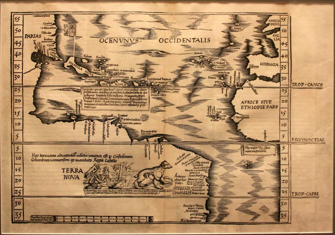
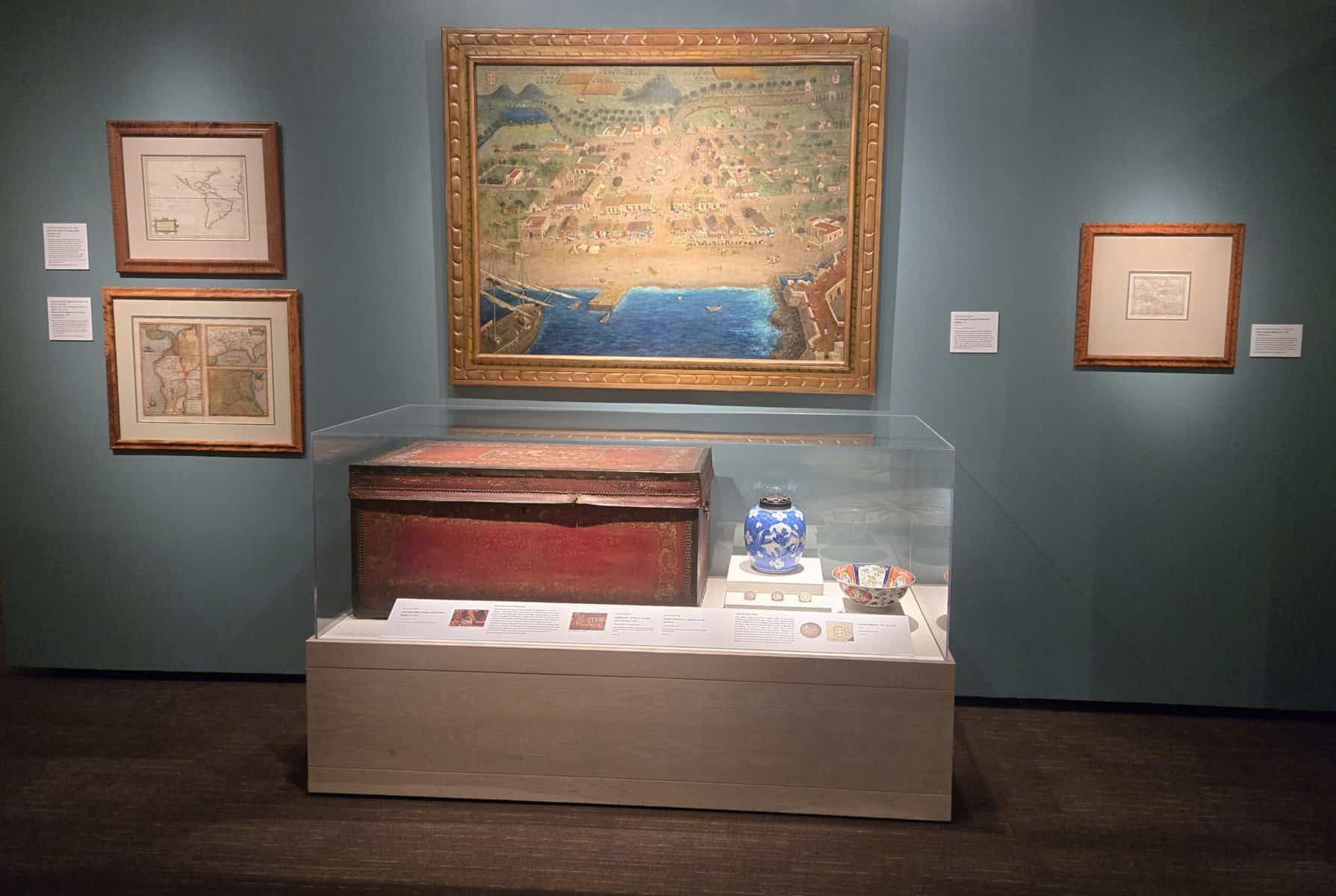
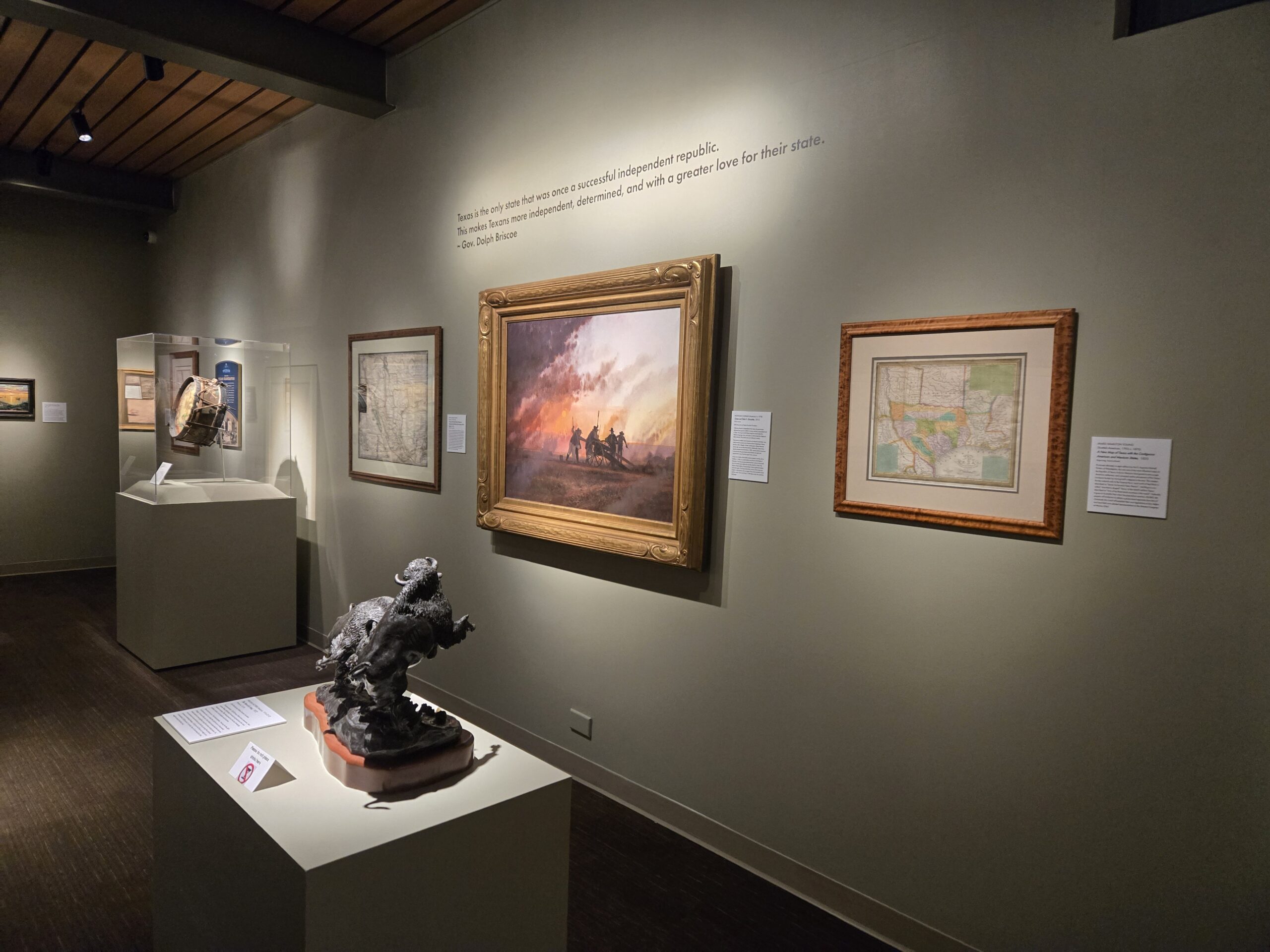
The Briscoe frames the exhibition through two of the pillars of Western art: the Western landscape and the profound Spanish and Mexican influence that shaped the region long before statehood. Early Spanish and later Mexican maps inscribe rivers, missions, presidios and ranching corridors across the page, showing how water, trade and faith organized the land and how those foundations endure in today’s place names and cultural life. In many cases, the maps guided migration and policy, not just navigation.
That interpretive lens is a welcome reminder that maps are never neutral. They argue meaning; where boundaries should lie, which routes matter, whose communities count. Going to Texas walks visitors through that layered narrative. “Going to Texas” guides visitors from mapmakers’ early guesses to what the Gulf Coast looked like through Republic-era claims to 20th-century maps of oil, highways and boomtowns, all while spotlighting the mapmakers’ artistry.
For a preview rabbit hole, explore the Davis Map Collection portal. The site hosts zoomable images and context that will enrich a Briscoe visit, and it underscores why this loan to San Antonio is so special: many of these works rarely travel and seeing them together offers a panoramic view of Texas taking shape.
How the Briscoe Brings the Maps to Life
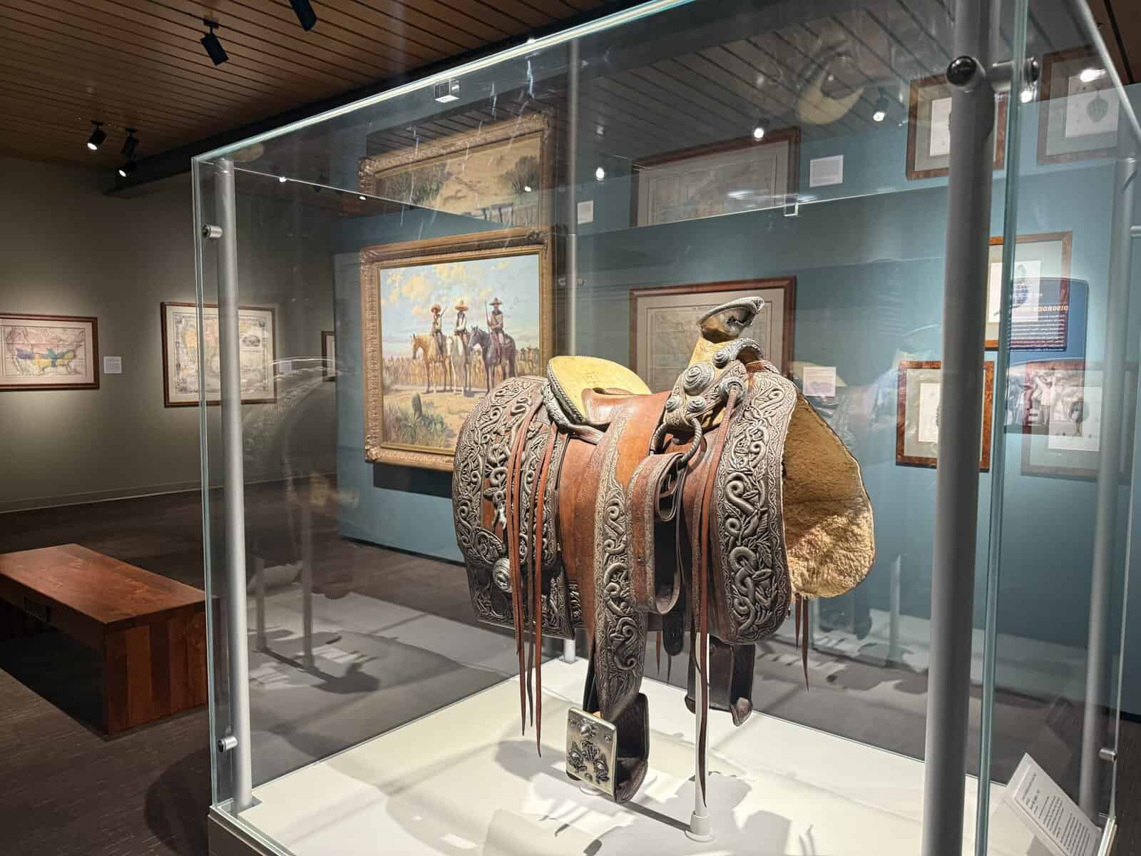
One of the exhibition’s strengths is the way the Briscoe pairs cartography with context. Labels and layout connect the dots between what’s on the paper and what happened on the ground, while select artworks and objects from the museum and private lenders enrich the storyline. The result is an experience that feels both scholarly and welcoming – a clear arc from early colonial mapping to modern Texas, with room to linger over exquisite details.
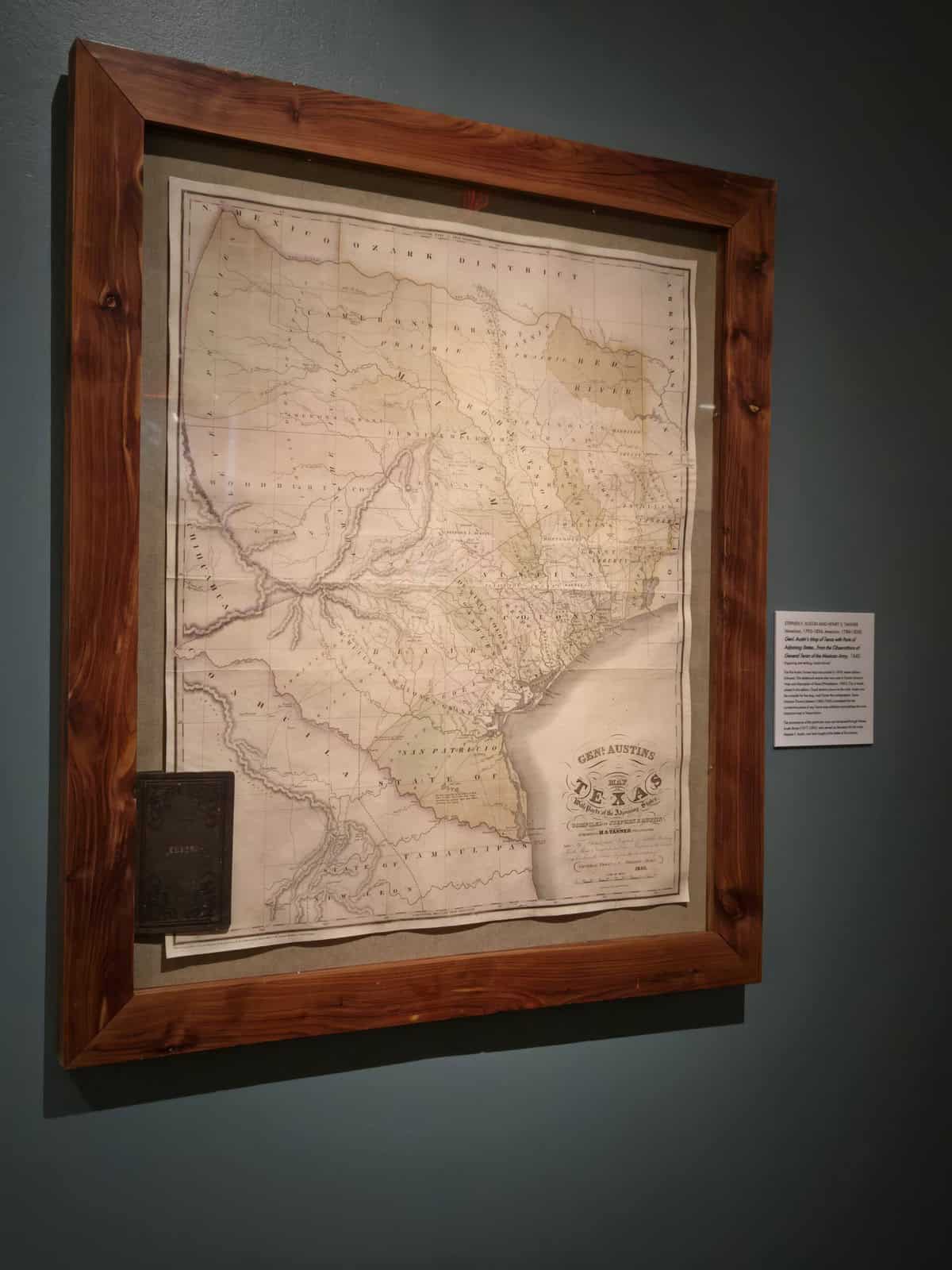
The exhibition’s presentation is part of its charm. Elegant frames set off each sheet like a work on canvas, drawing your eye to color, line and cartouche. Up close, you see time at work: softened paper, foxing and edges gently frayed from use. Several “pocket maps” are displayed open, their fold lines and wear marks intact. You can almost picture them tucked in a coat or saddlebag and imagine the journeys they’ve witnessed.
Plan Your San Antonio Visit
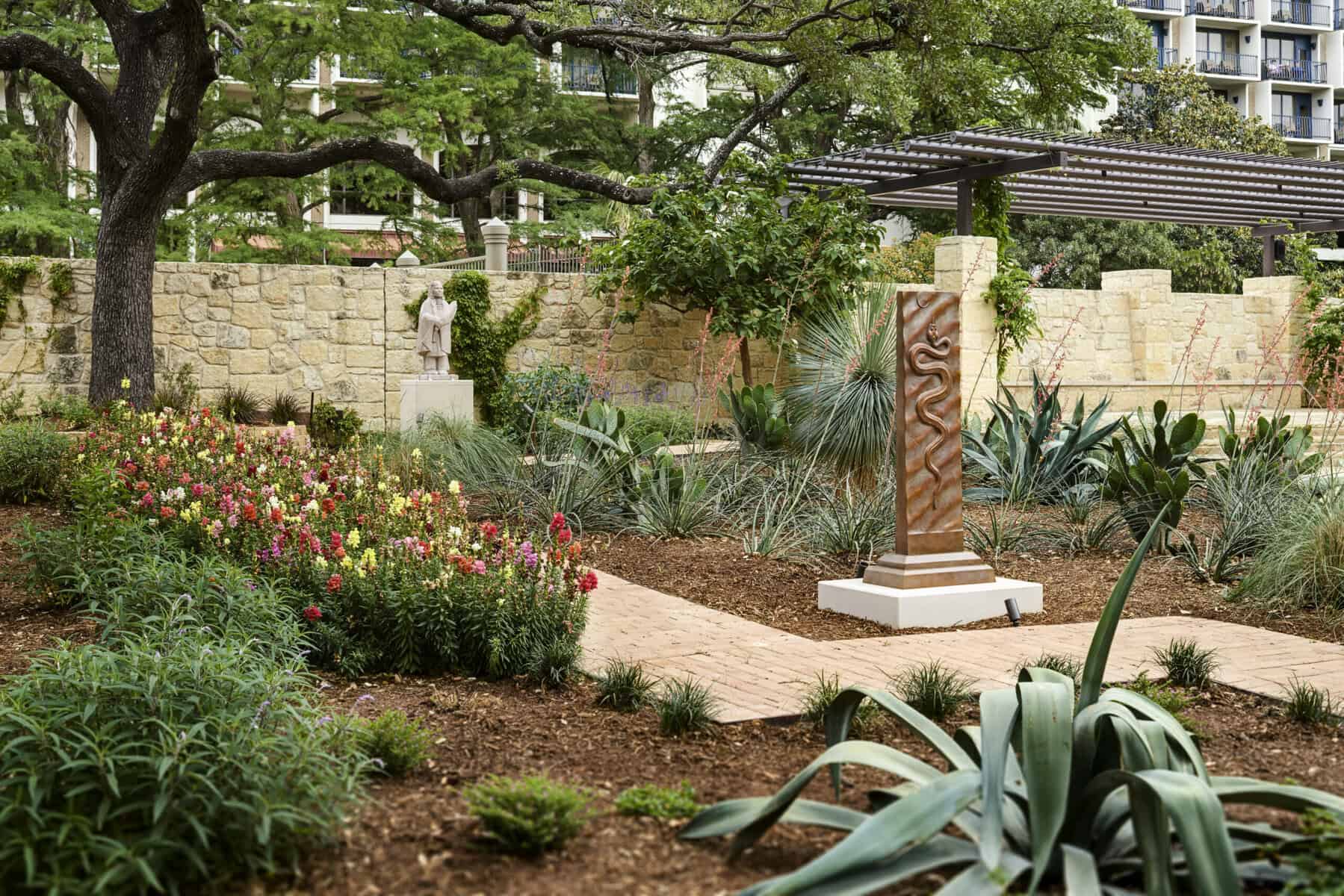
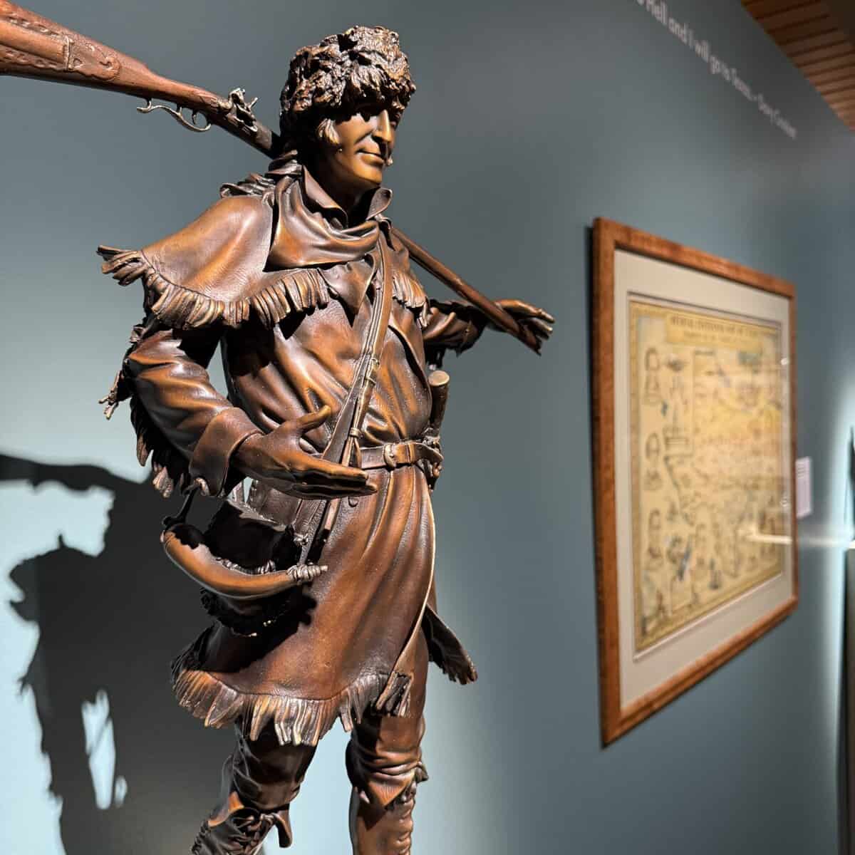
Be sure to give yourself time for the Briscoe’s permanent collection. The museum presents the art and heritage of the American West through art and artifacts that bring the West to life. The museum’s campus and McNutt Sculpture Garden feature 35 sculptures that capture Western work, wildlife and story in bronze, framed by river breezes and live oaks. It’s one of the loveliest outdoor art spaces downtown – and a perfect spot to compare today’s landscape to the cartographic visions you’ve just explored.
The Briscoe sits directly on the San Antonio River Walk, an easy stroll from hotels, restaurants and other cultural stops. The museum is open Thursday, 10 a.m.–8 p.m.; Friday–Monday, 10 a.m.–5 p.m. Admission is free for children 12 and under and for active duty military, while military veterans receive discounted admission.
“Going to Texas: Five Centuries of Texas Maps” is a rare chance to see how a place becomes a story – and how that story becomes a state. The maps are art. They are evidence. They are invitations to imagine standing at a river crossing two hundred years ago, measuring the land with a compass and hope. Pair the exhibition with time in the sculpture garden, then let the River Walk carry you to dinner and dusk. It’s a San Antonio day well spent—and a new way to see Texas, line by line.
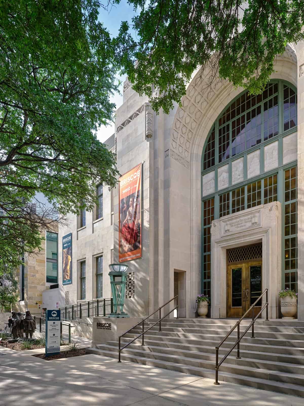
Editor’s note: The Briscoe Western Art Museum is at 210 W. Market Street, San Antonio, TX. For current hours and programming, visit the museum’s website.
__________________________________________________________________________________________________________
Cover photo Dawn Robinette
An award-winning writer and communications expert who runs Tale to Tell Communications, Dawn Robinette is a Certified Tourism Ambassador who loves to tell stories about her adopted hometown of San Antonio. You can read more of her work at Alamo City Moms, San Antonio Woman, Authentic Texas and Rio Magazine.


